Board Meeting
Second Monday of the Month - 5:30 Mountain Time - Conducted via ZOOM Video Conference
New Owners! - Click HERE to review the new owner information page
New! - The Architectural Review Committee has a new webpage. Check it out!
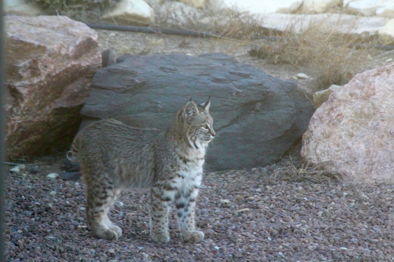
Bobcat
Photo by Andy Pursch

Grey Fox
Photo by John Frederick
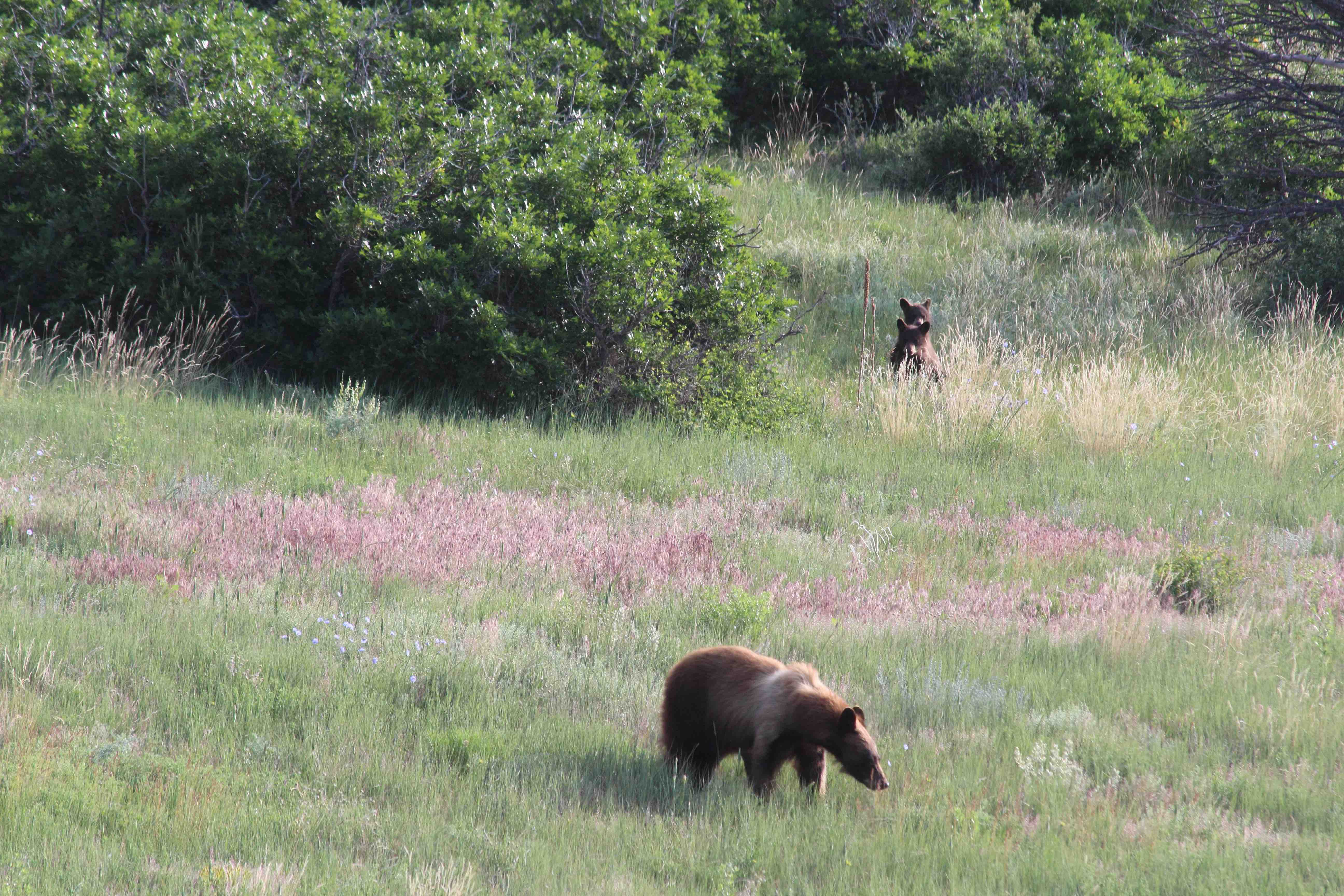
Sow & Cubs
Photo by Andy Pursch

Bear Swimming
Photo by Andy Pursch

Big Horn Sheep
Photo by Andy Pursch

Golden Eagle
Photo by Andy Pursch

Mule Deer
Photo by Forrest Dykstra

Wild Turkeys
Photo by Forrest Dykstra

Mountain Lion
Photo by Forrest Dykstra

Ranch Maps
Interactive Ranch Map
The TVW Ranch map is a cloud based, interactive geographic information system (GIS) application. It allows the user to overlay geographic data over various map backgrounds. As with the static maps below, the parcel and ranch boundaries as drawn on the map are not 100% accurate. The information used was provided by the county and it is in error.
A User Guide is provided for first time users. Please send any comments, questions or suggestions to Andy Pursch (TVWWebMaster@gmail.com)
Static Maps
Each of the 5 maps below highlight features of the ranch. For each of the first 3 maps there is a medium-resolution and a high-resolution option. The last two only have a medium-resolution image. Please Note: The parcel and ranch boundaries as drawn on the map are not 100% accurate. The information used was provided by the county and it is in error. The boundaries are approximate but still provide a sense of the parcels and ranch location. Unfortunately, this is something out of our control.
Trails and Roads – main roads and defined trails
|
|
Parcels and Roads- Owner lots and roads
|
|
|
Features, Roads and Trails – man-made & natural features, roads and trails
|
|
|
Elevation Contours – elevation contours with roads and trails overlayed
|
|
|
Aerial Photograph of Tres Valles West in 1999